

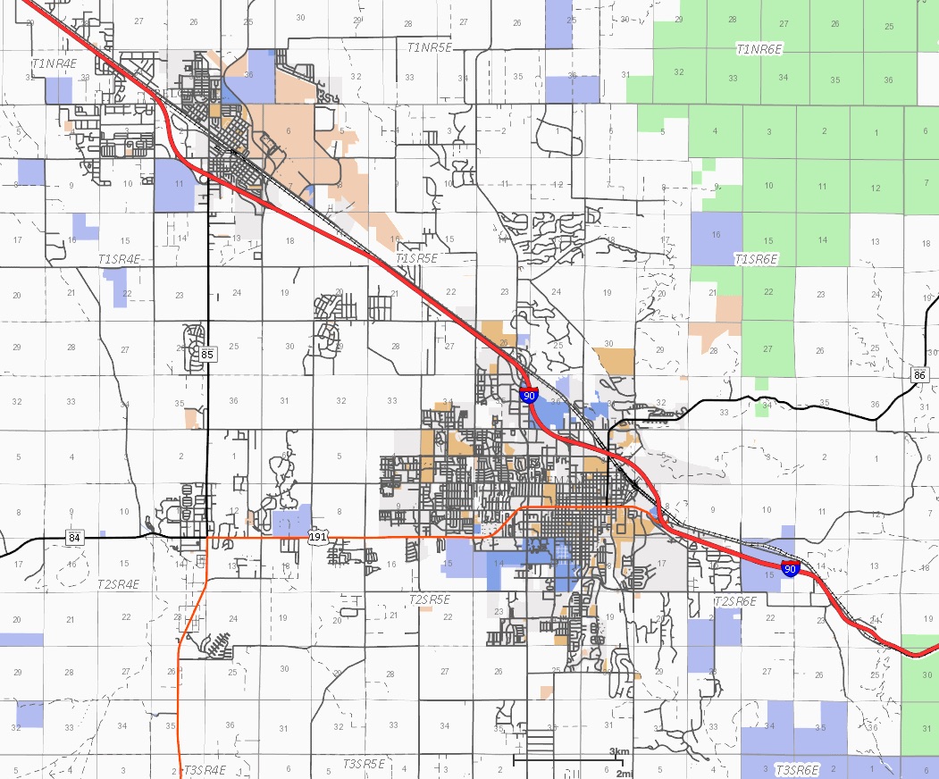
Bozeman Floodplains
 Federal Emergency Management Agency(FEMA) issued updated floodplain maps for Bozeman and other areas of Southwest Montana.
The update floodplain maps redefined the 500 year and 100 year floodplains for many areas.
The maps, which are digitized, replaced the old hard copies drawn in the 1980’s with newer, more accurate information.
Bozeman has its own floodplain maps that it uses when reviewing development or building requests, but FEMA’s maps are used as a guide.
Federal lenders use the maps to set insurance rates, and if a property backed by a federal mortgage is now included in the floodplain, the homeowners will be required to buy flood insurance.
The most significant changes to the floodplain maps include Big Sky, the East Gallatin River, the West Gallatin River downstream of Interstate 90 and areas of the Jefferson and Madison rivers near Three Forks.
The Federal Emergency Management Agency says a swath of downtown Bozeman surrounding Bozeman Creek should be designated as floodplain, along with areas of the Stonegate Subdivision. This would subject property in these areas to heightened insurance requirements and restrictions on development.
Before purchasing property contact our Bozeman Real Estate Agents to determine if the property is in a designated floodplain.
Federal Emergency Management Agency(FEMA) issued updated floodplain maps for Bozeman and other areas of Southwest Montana.
The update floodplain maps redefined the 500 year and 100 year floodplains for many areas.
The maps, which are digitized, replaced the old hard copies drawn in the 1980’s with newer, more accurate information.
Bozeman has its own floodplain maps that it uses when reviewing development or building requests, but FEMA’s maps are used as a guide.
Federal lenders use the maps to set insurance rates, and if a property backed by a federal mortgage is now included in the floodplain, the homeowners will be required to buy flood insurance.
The most significant changes to the floodplain maps include Big Sky, the East Gallatin River, the West Gallatin River downstream of Interstate 90 and areas of the Jefferson and Madison rivers near Three Forks.
The Federal Emergency Management Agency says a swath of downtown Bozeman surrounding Bozeman Creek should be designated as floodplain, along with areas of the Stonegate Subdivision. This would subject property in these areas to heightened insurance requirements and restrictions on development.
Before purchasing property contact our Bozeman Real Estate Agents to determine if the property is in a designated floodplain.
Bozeman Floodplain Map
Category : Bozeman Information , Buyer Information